Atitlan~nlwiki · CC BY-SA 4.0 · Resized; thumbnails may be cropped.

Outdoors
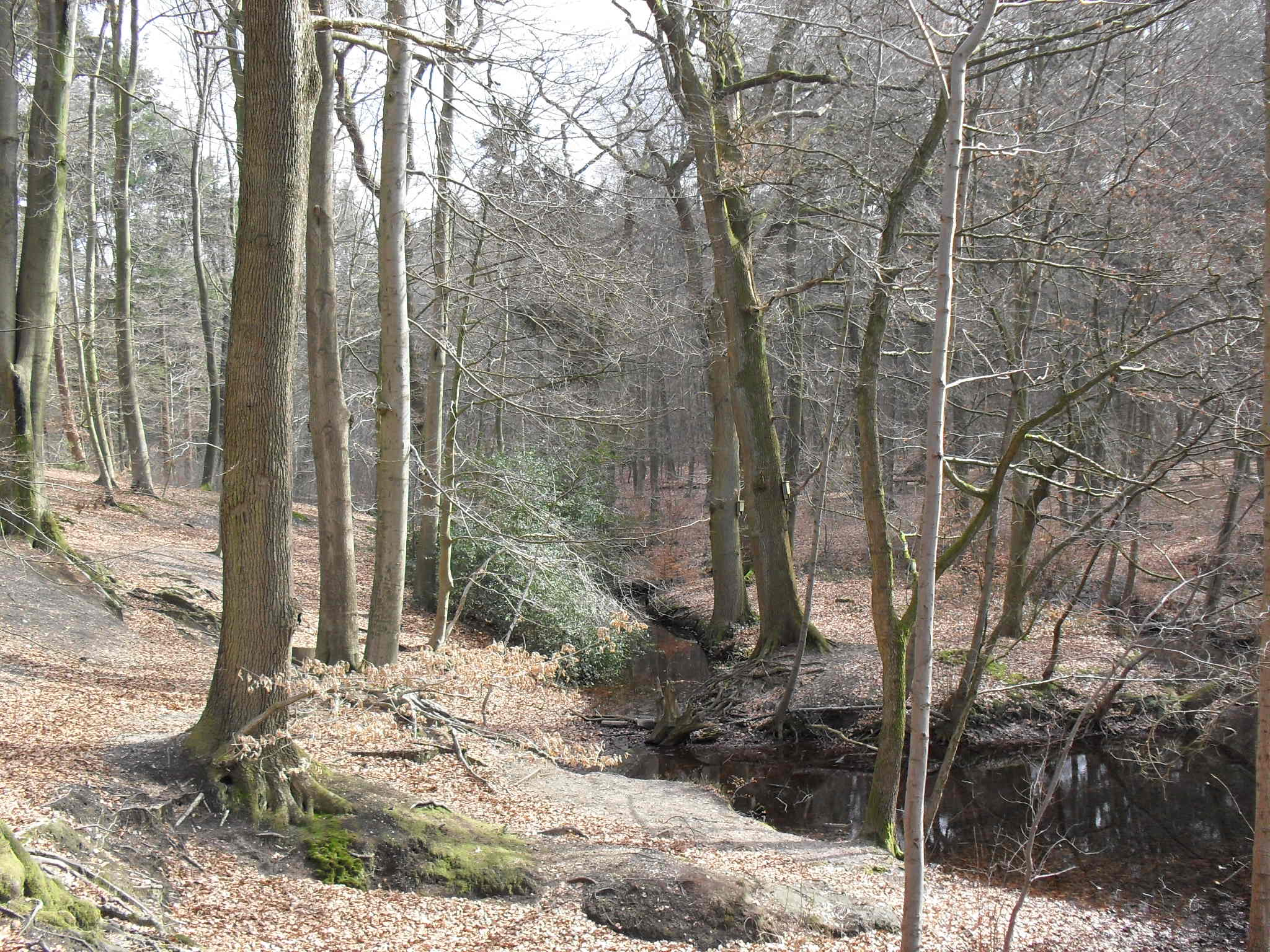
Walking in the Reichswald: planning a forest day
A clear starting point, a suitable walk and time to notice the surroundings make a large forest manageable for a day out.
24 articles
Explore forests, river landscapes and places to walk.
Outdoors
A clear starting point, a suitable walk and time to notice the surroundings make a large forest manageable for a day out.
Outdoors
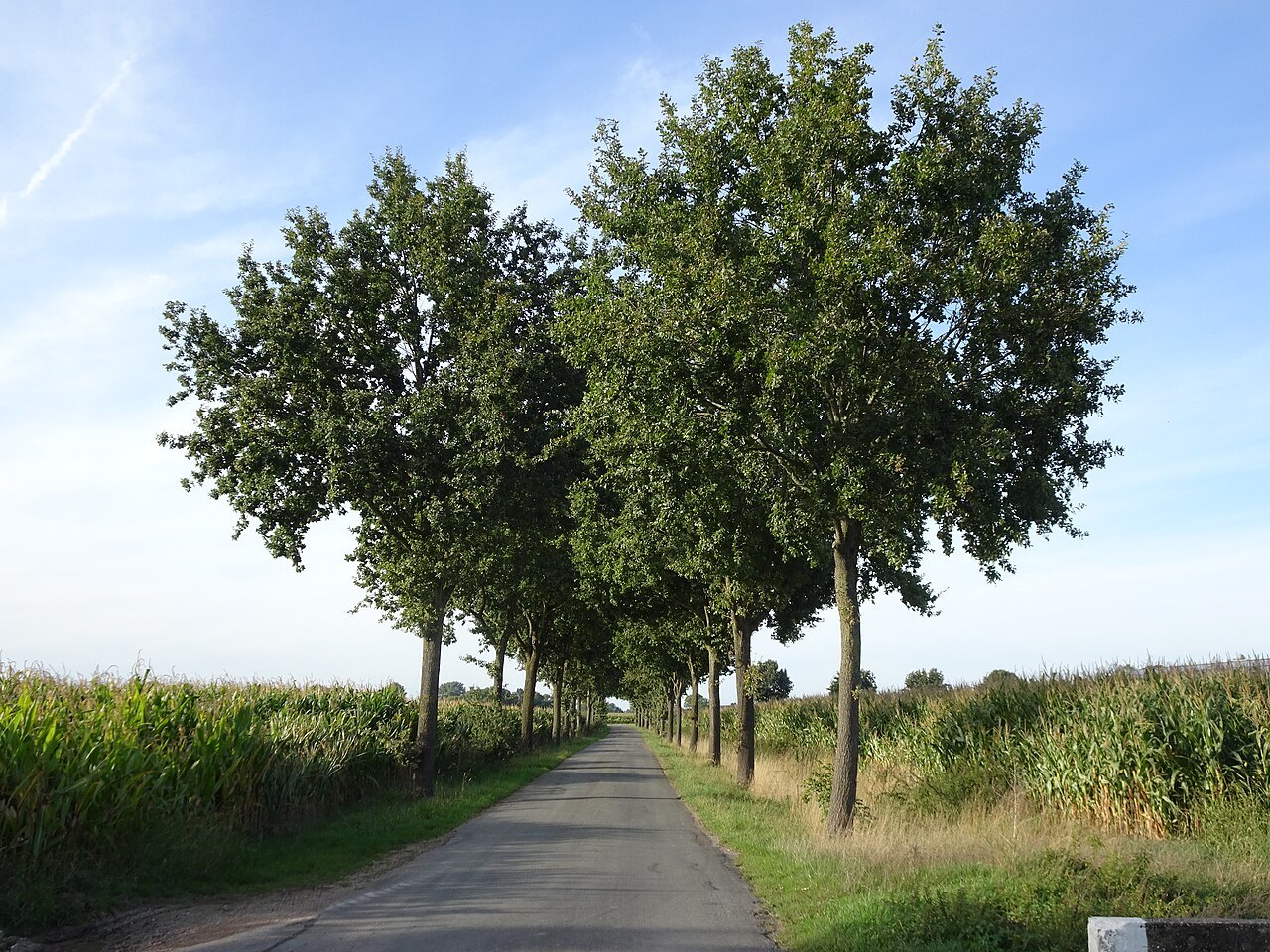
Meadows, ditches and hedges reveal how water and farming shape the Düffel.
Outdoors
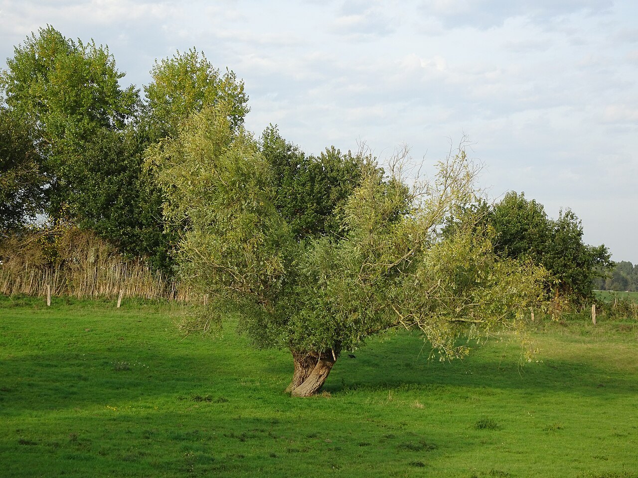
A visit to the open Rhine foreland begins with a suitable public route, rather than the shortest line to the water.
Outdoors
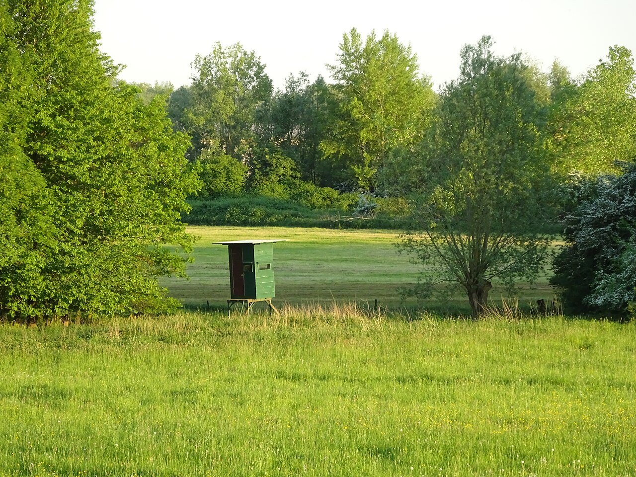
The dyke offers a way to compare water, grassland and floodplain woodland without entering wildlife refuges.
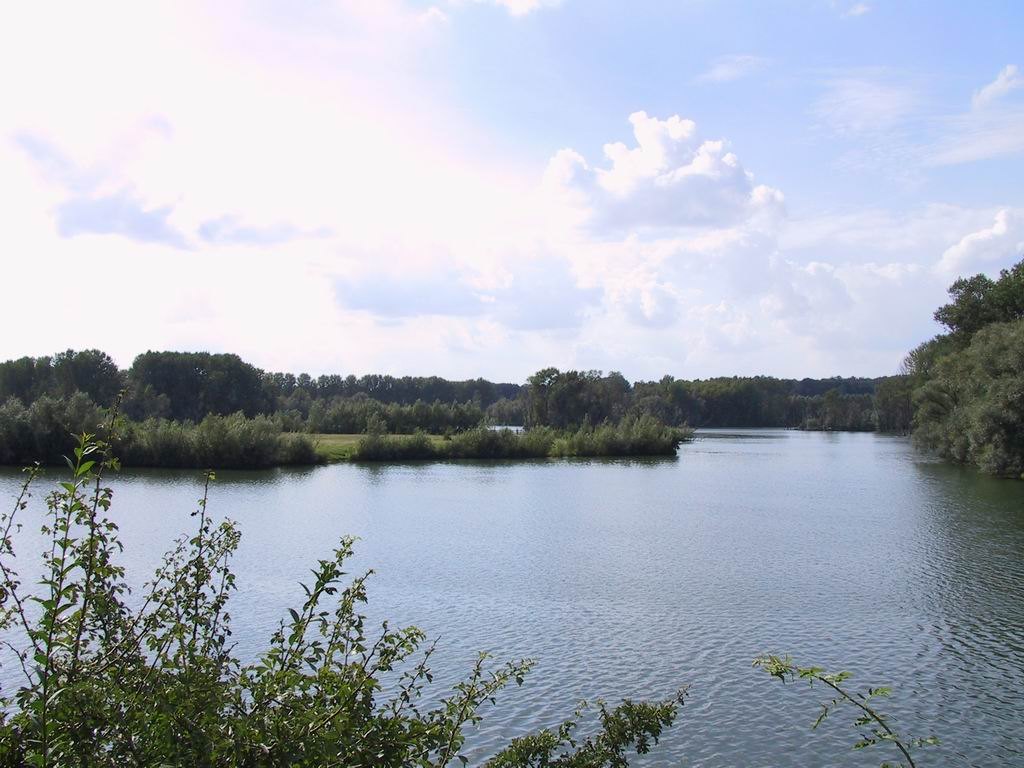
Outdoors
Observation stops shape a visit to Bislicher Insel; its name does not promise an unrestricted island beach.
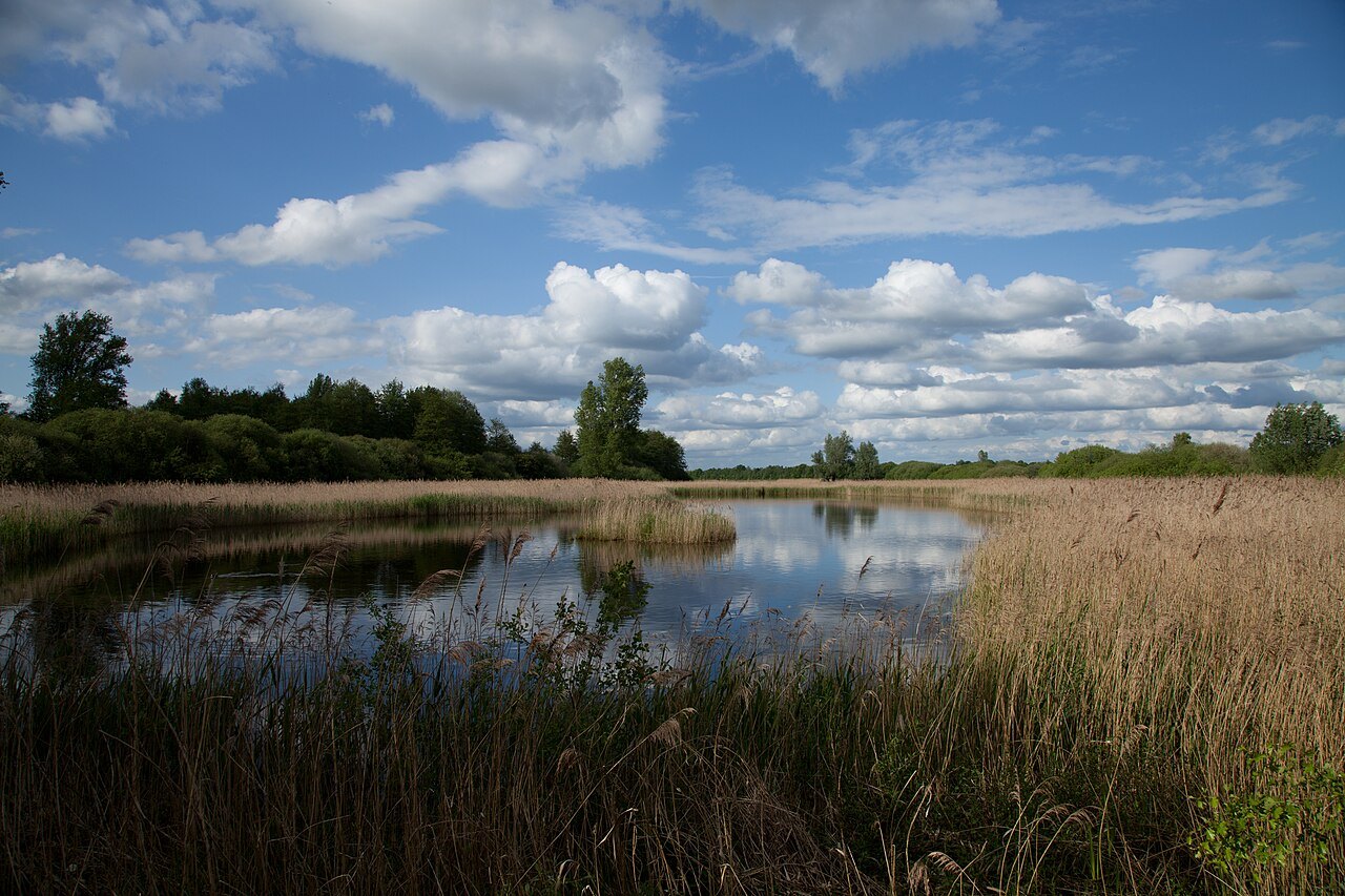
Outdoors
The wetland near Kranenburg can be understood from its surrounding paths by allowing time to examine its habitats.
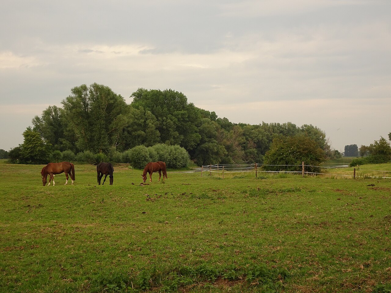
Outdoors
Small pools reveal river history and land use; the Drususdeich provides a starting point for observation.
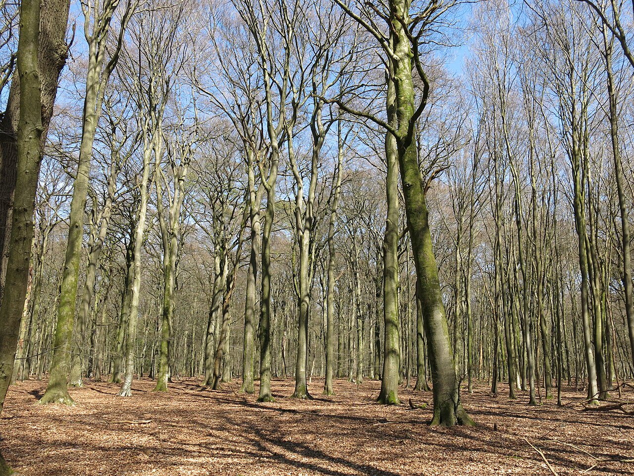
Outdoors
Old trees, young growth and fallen wood reveal differences in woodland structure.
Outdoors
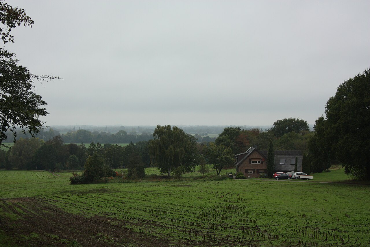
The approach determines the effort involved; allow separate time for climbing, the view and exploring the village.
Outdoors
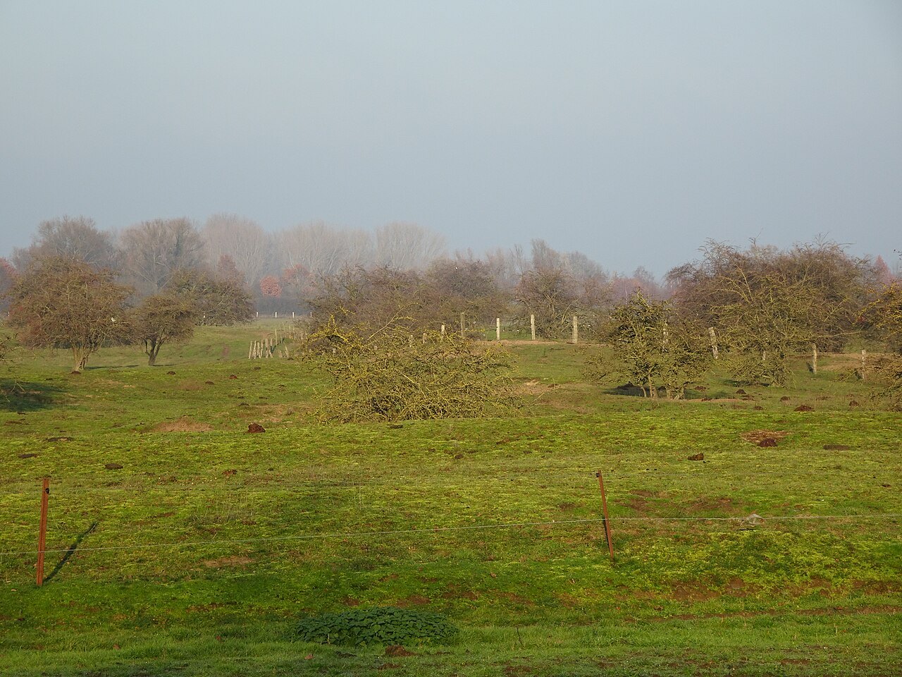
River sand, low vegetation and protected paths make the Wisseler dunes a different destination from the nearby bathing lake.
Outdoors
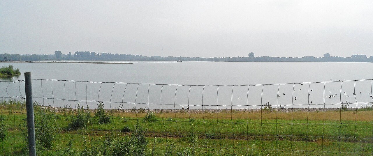
A route around a lake landscape is neither a continuous shoreline path nor general permission to swim.
Outdoors
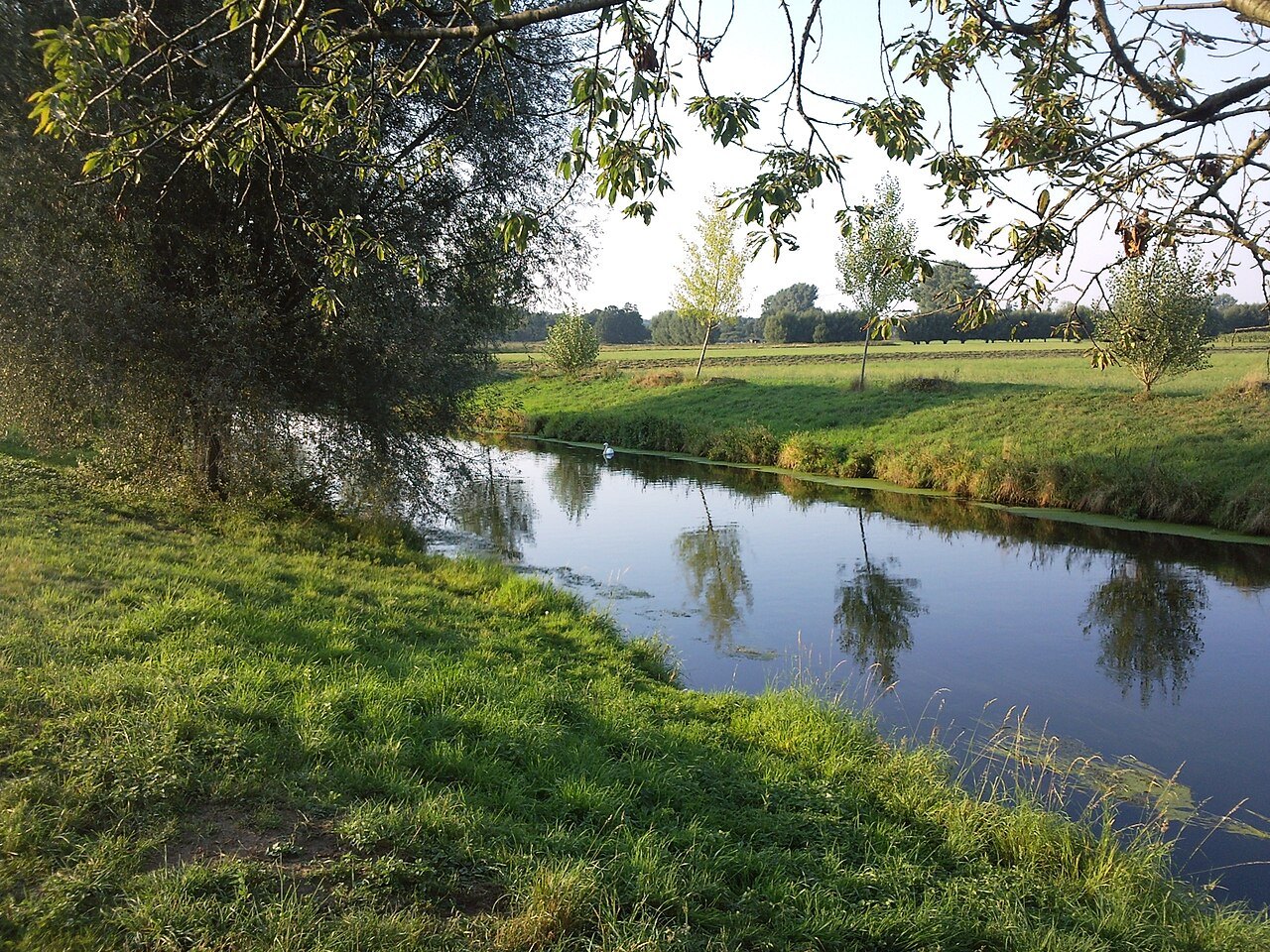
The Niers offers opportunities to compare channel, banks and land use without travelling its entire length.
Outdoors
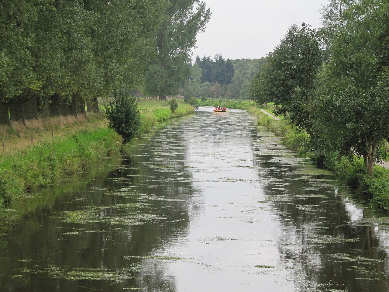
Combine the village and the Niers by distinguishing waterside paths from the crossings needed to join them.
Outdoors
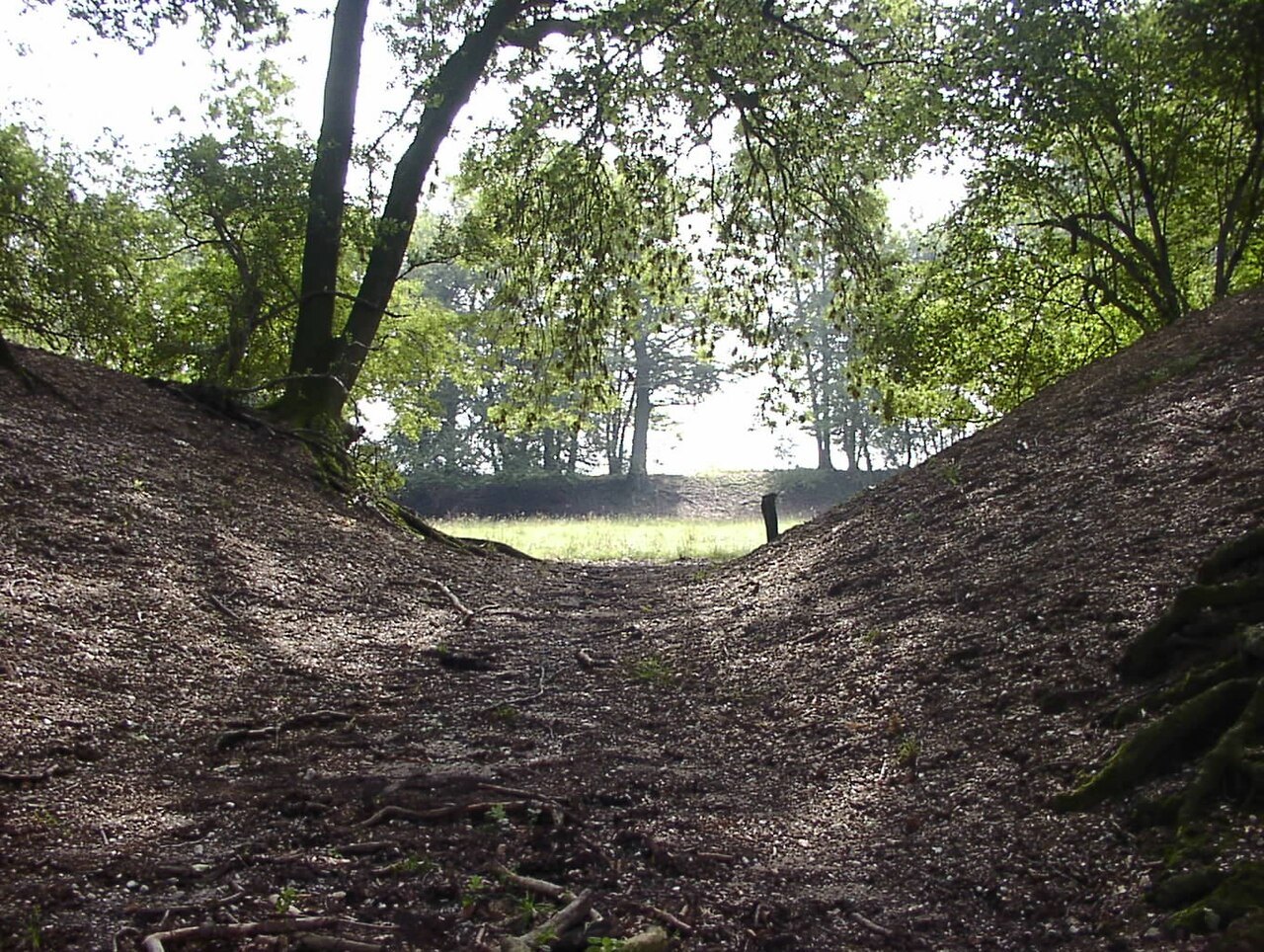
At Fossa Eugeniana, a historical map and a present-day path work together; not every ditch explains its own history.
Outdoors
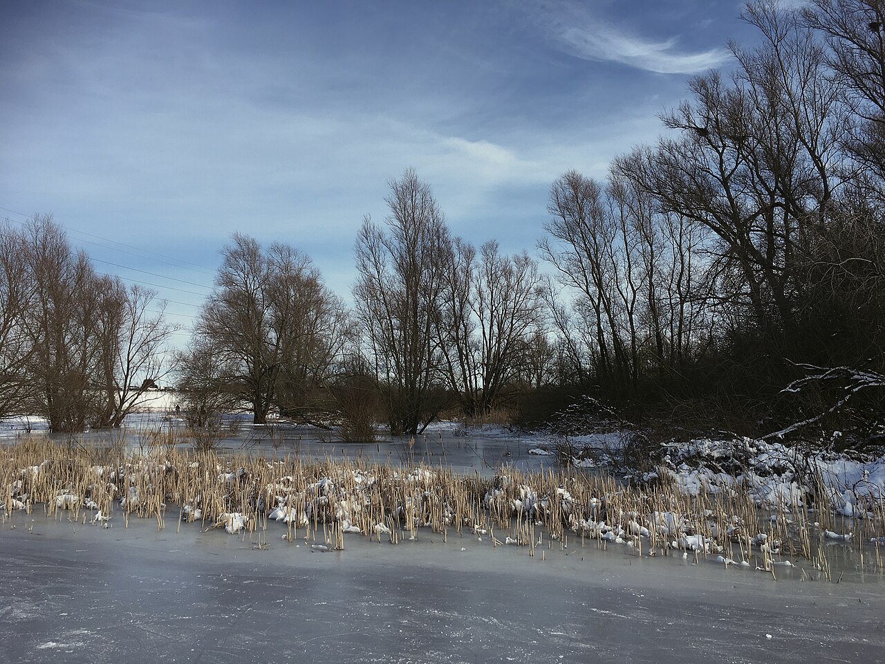
The name covers a wider river landscape; a day visit needs a specific area and entrance.
Outdoors
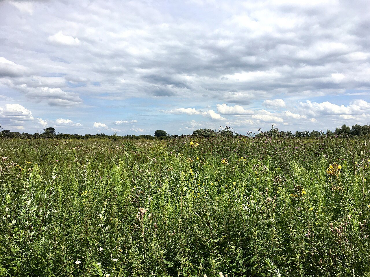
In the Ooijpolder, paths, hedges, water and farmland belong together; a permitted connection matters more than a straight line.
Outdoors
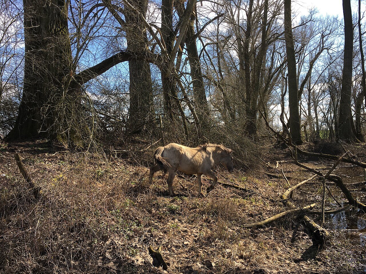
In Millingerwaard, the river changes where walking is possible; freedom to explore still requires attention to water and grazing animals.
Outdoors
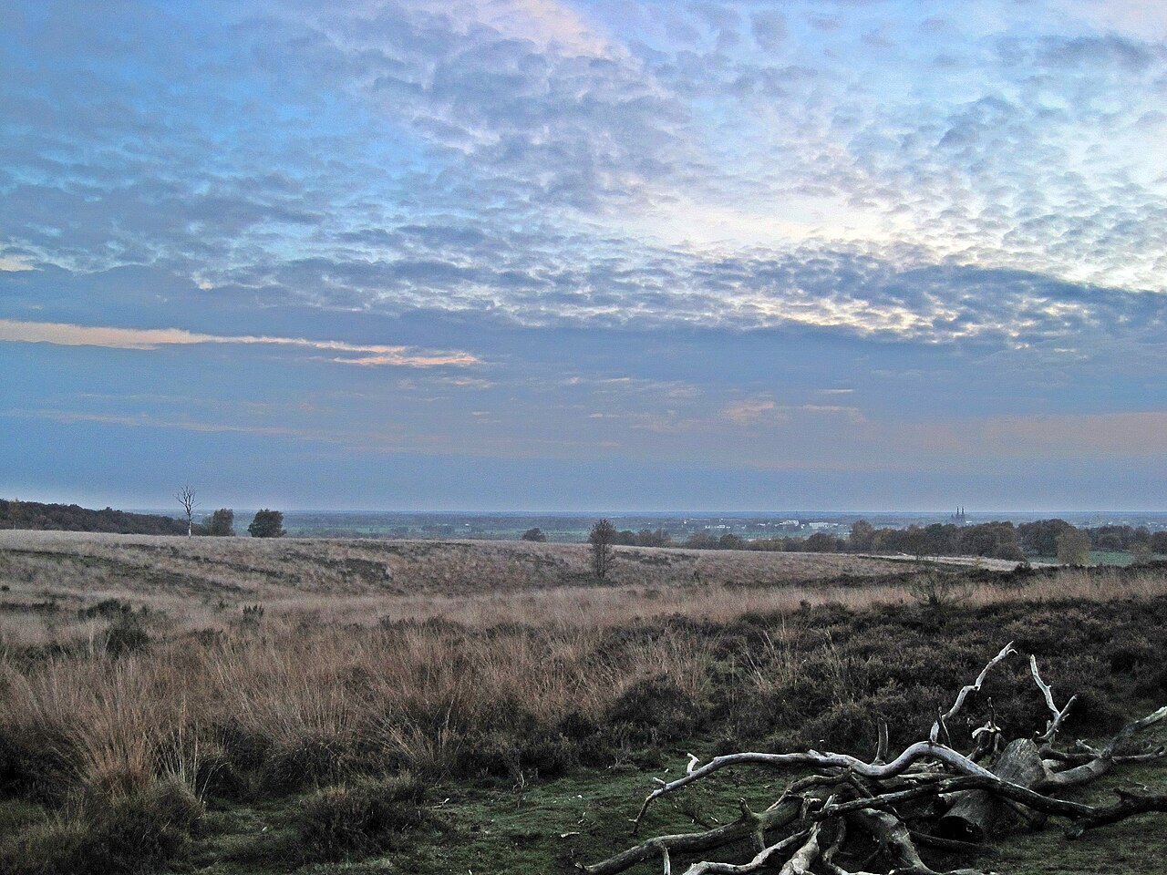
Heath, woodland and slopes alternate; flowering is one possible impression, not a requirement for a worthwhile walk.
Outdoors
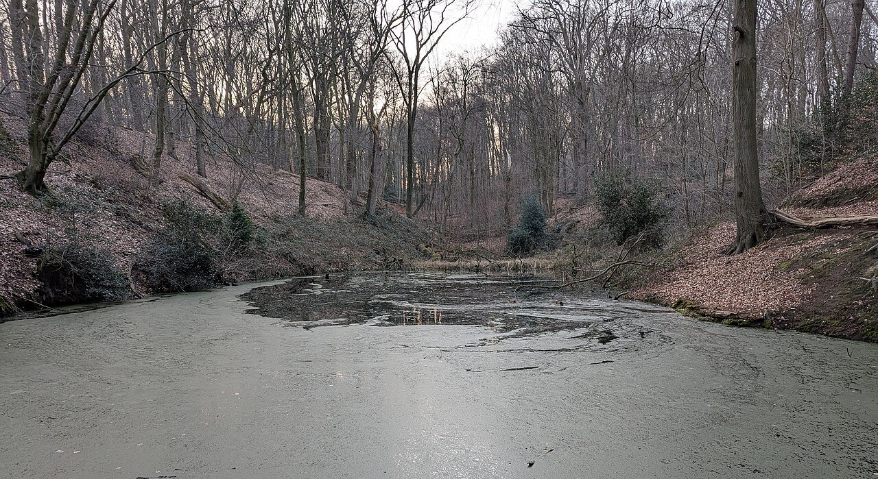
Wooded slopes, water and historical traces meet on Sint-Jansberg; short distances reveal little about the effort required.
Outdoors
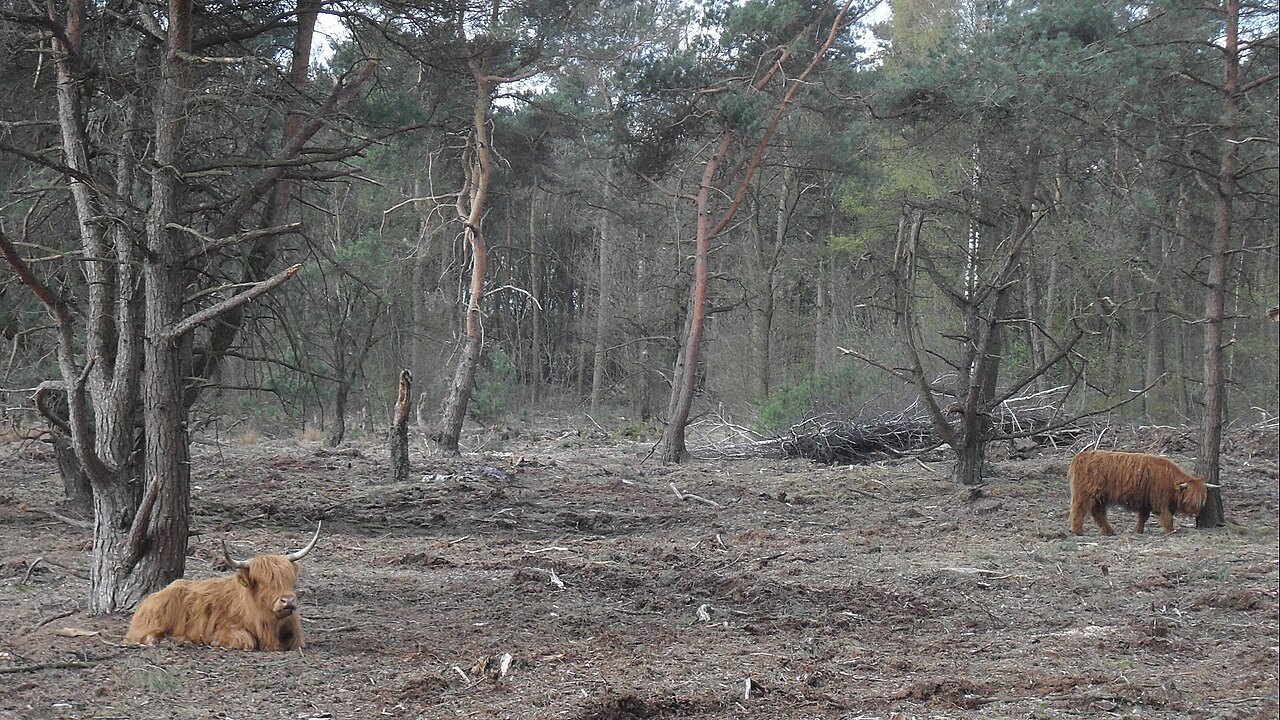
The national park is an extended landscape; choosing one suitable area is more useful than collecting distant destinations.
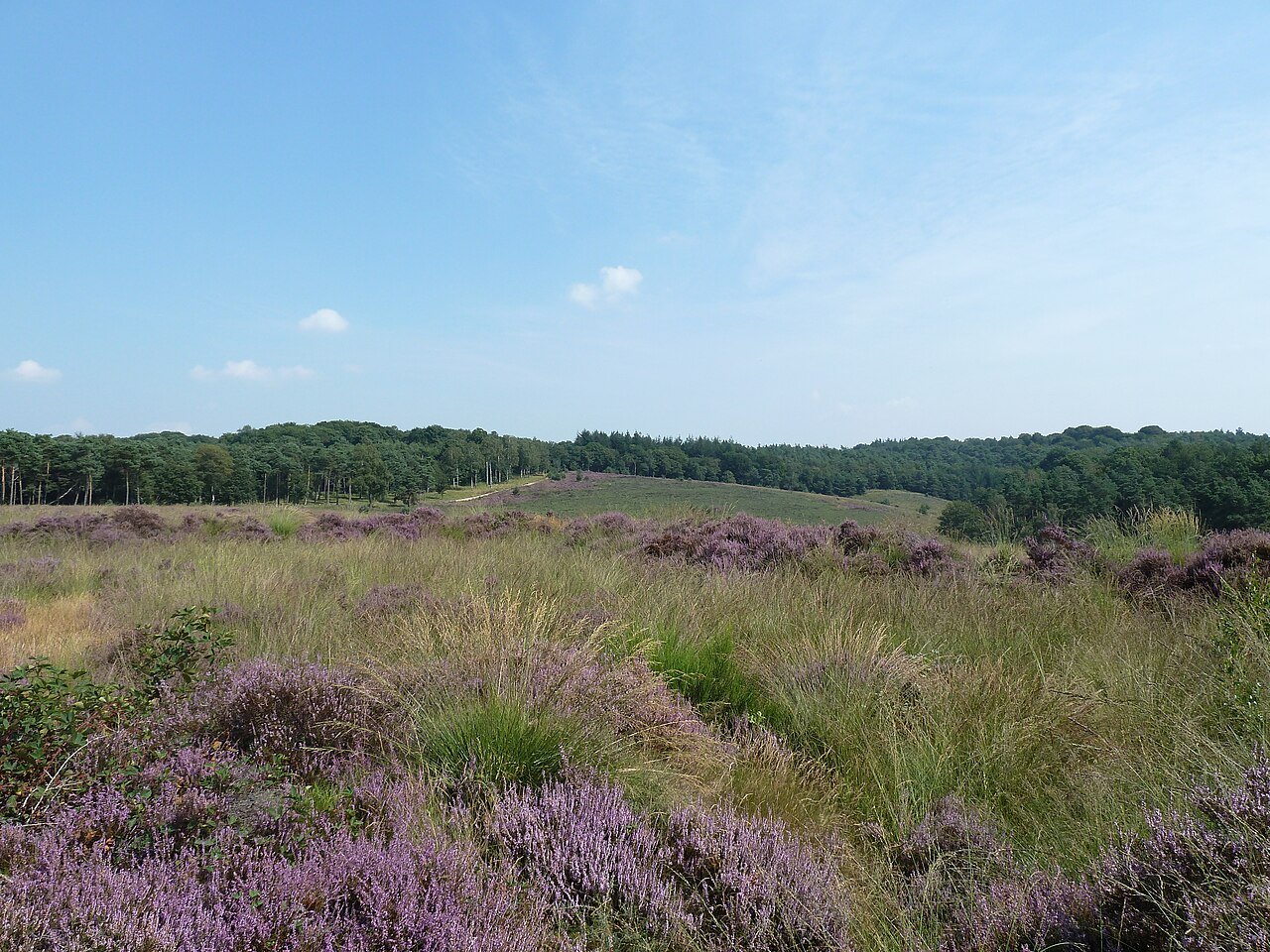
Outdoors
An earthwork is first a shape in the ground; its history becomes clearer when location and visible structure are considered together.
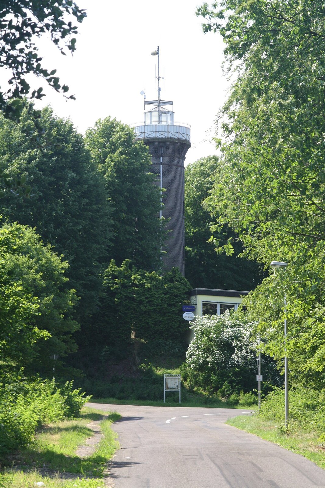
Outdoors
At Klever Berg, the climb and a possible tower visit matter more than the straight-line distance.
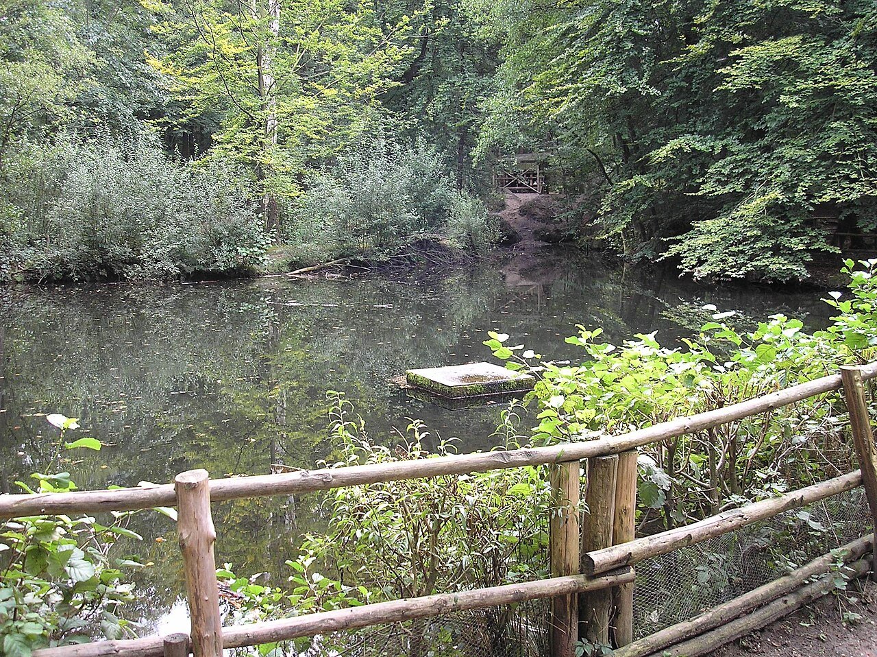
Outdoors
A small waterside place at the woodland edge can make a quiet beginning, provided the walk does not expand without a plan.
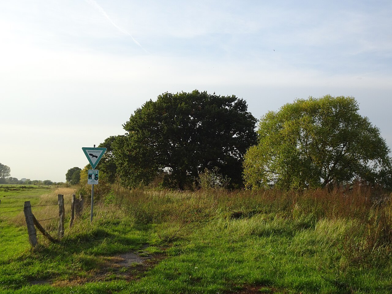
Outdoors
A dyke walk becomes easier to understand when the river channel, floodable land and disconnected former floodplain are distinguished.


