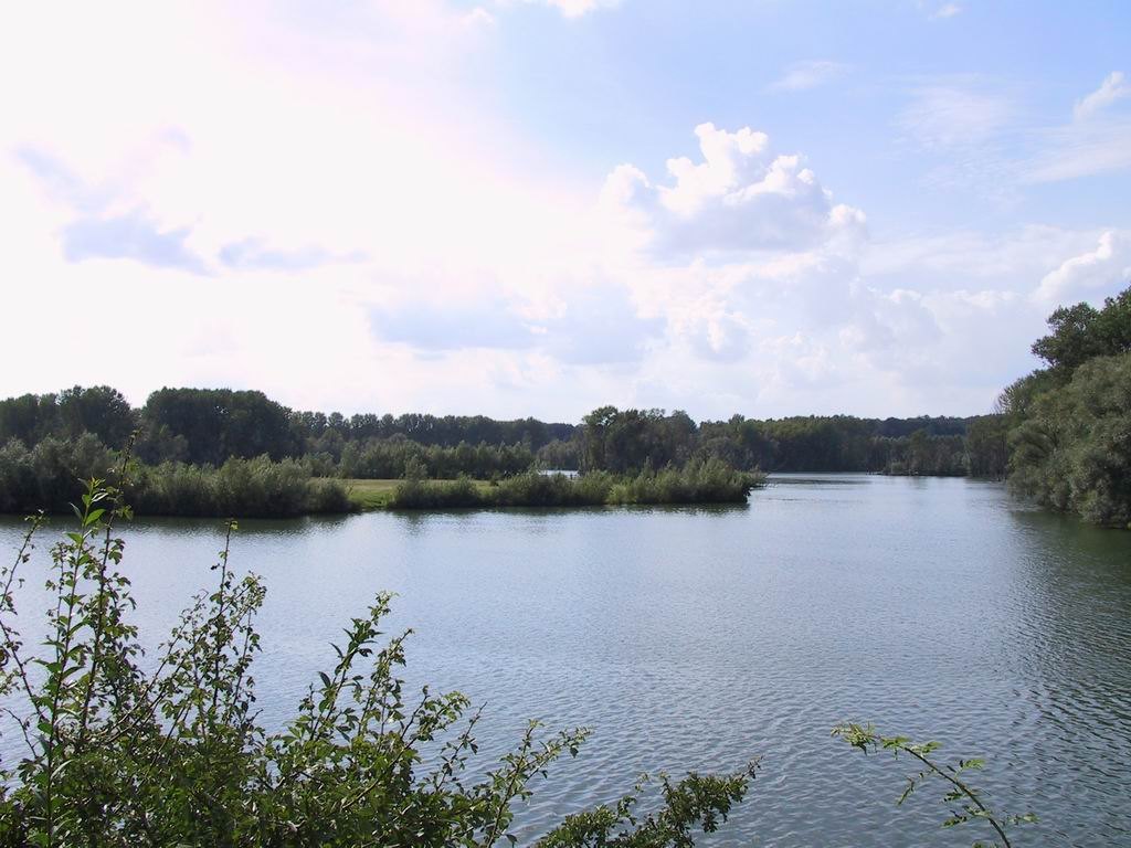
For a visit to Bislicher Insel near Xanten, the main question is not how much ground you can cross. It is where permitted observation places give a useful view of the floodplain. The RVR NaturForum provides information about the reserve and organised activities. Observation hides allow visitors to examine parts of the landscape without entering the sensitive ground themselves.
Build a plan with two separate parts
Distinguish an outdoor walk from visiting the information centre. Their availability may differ. When checked in October 2026, the RVR reported that the permanent exhibition would remain closed for rebuilding until an expected reopening in 2028; the AuenCafé was also listed as closed. Check the operator's current page before travelling. Do not make an exhibition or meal an essential part of the day merely because older travel reports mention them.
For the outdoor section, select a marked route with a clear turning point. Decide how much time remains for travel, orientation and stops. An hour at an observation point is different from an hour spent walking. Anyone continuing by public transport must also include the journey from the final viewpoint to the actual stop or station.
Share a hide considerately
On entering an observation hide, arrive quietly and assess the available space first. Leave a viewing opening for other people. A long camera lens does not require several openings at once, and large bags should not obstruct the passage. Keep noise low, while recognising that a publicly accessible hide is a shared place rather than a private photography studio.
Begin looking without magnification. Where is the open water? Where is the dense vegetation? Which line marks the bank? Only then scan a limited section with binoculars. This makes it easier to relate the enlarged detail to the wider scene. For an uncertain sighting, record shape, movement and location rather than choosing a species name too quickly.
Water determines the usable circuit
A floodplain changes with water levels. Notices about closed or flooded connections take priority over a saved route. Turn back before reaching an uncertain section; a dry meadow beside it is not an authorised substitute path. If necessary, ask at the official information point about a suitable current alternative.
Carry water and a snack if food services have not been confirmed. Eat in appropriate places and take every piece of packaging away. Feeding wildlife is not part of observation. A useful final note records what was genuinely visible: water level relative to a fixed bank feature, wind direction, or the distribution of birds between open and vegetated areas. It need not contain an unusual sighting to make the day memorable. Comparing those notes on another visit is more informative than assuming that the landscape will always resemble a favourite photograph.