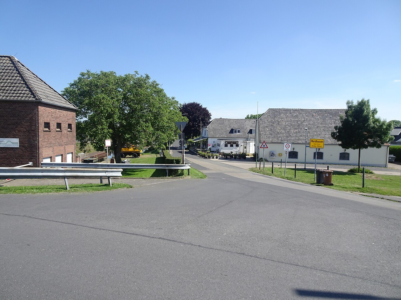

Wardhausen can be approached as a small landscape visit in which engineering and human history meet. Its waterways are more than scenery. The relationship between the Spoy Canal, the old Rhine arm and flood protection helps explain why structures appeared here and why they have changed. An older photograph of a lock should therefore be treated as a historical source, not a promise of present-day lock operation.
A lock is not a timeless backdrop
Municipal documents concerning dyke improvements between Griethausen and Wardhausen record that Brienen lock ceased operating in 2015 because of structural defects. Subsequent planning includes changes to the pumping station and water passage as well as removal of the lock complex. That does not establish today's construction conditions, but it does demonstrate an important point: water infrastructure continues to evolve.
From accessible paths, compare only what is actually visible. A photograph from an earlier decade may show a state that has since changed. Current local barriers and operator information govern a visit. Working areas, gates and railings belong to infrastructure rather than a freely accessible engineering park.
Moving water and holding it back
A lock, pumping station and dyke have different purposes. For observing the landscape, start with that distinction: navigation needs connections, drainage needs an outlet, and flood protection needs an effective boundary. The municipal documents show that these questions have to be considered together here. A quiet water surface does not reveal the technical function being performed in the background.
Find a safe position where bank, ground and buildings can be seen together. Ask which areas lie higher and how paths cross or follow the water. Avoid guessing how current water levels are being controlled; that would require operational information. Visible spatial relationships already provide a concrete subject to explore.
Remembrance in the same setting
Kleve's tourism information identifies the Johanna Sebus memorial in Wardhausen. A place of remembrance gives water a human dimension that engineering plans can leave out. Read its inscription and on-site explanation instead of constructing a story from the name alone.
Combine the memorial with a limited walk whose return you understand. During flooding or building work, choosing another day is better than seeking an unofficial way around a barrier. Wardhausen does not require a long itinerary: comparing village views, water engineering and remembrance already shows how closely everyday life on the Lower Rhine is connected to a landscape that has been shaped and protected.