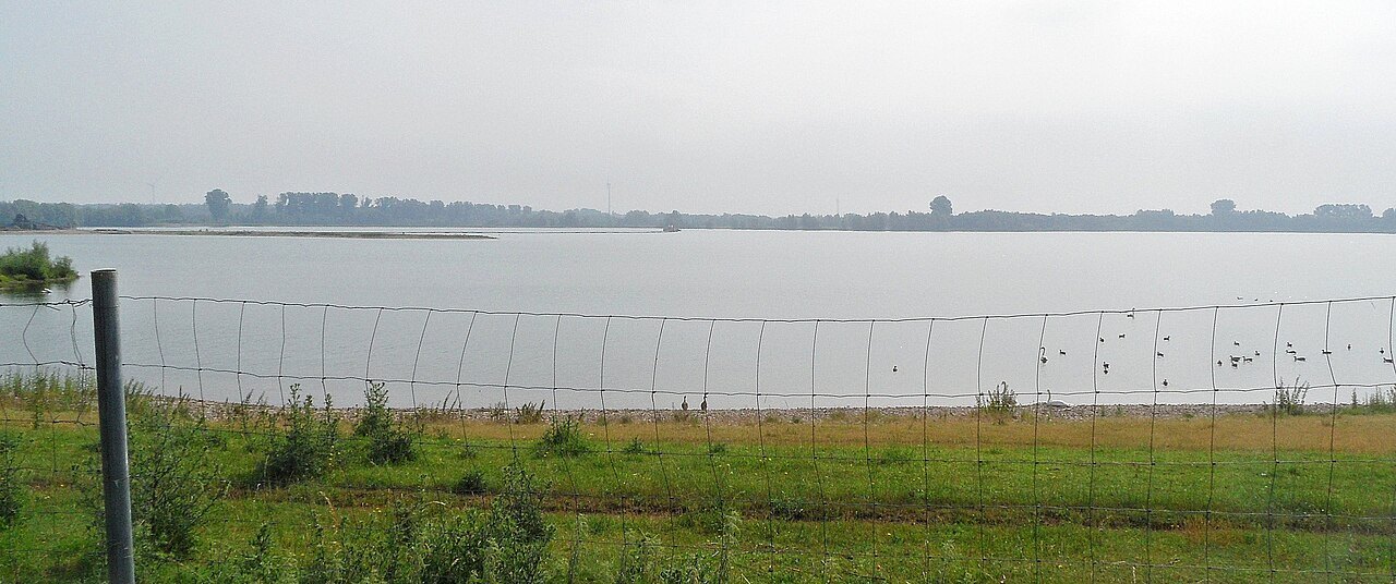

At Reeser Meer, decide what kind of outing you want first: walking, cycling, observing the water or using a specifically offered water-sport activity. These plans do not share the same access arrangements. The city of Rees, for example, presents a Planet Route around Reeser Meer as a cycle ride. That does not establish a freely walkable path immediately beside every section of shoreline.
Read the map in two layers
Examine the path network before the water surfaces. Which connection is continuously available to the public? Where are there road sections, and where is a view of the water actually provided? A blue area on a map says nothing about access to adjoining land. A narrow gap between path and water may contain a fence, bank or strip of vegetation on the ground.
For a short walk, a confirmed outward-and-return path is often clearer than an assumed complete lake circuit. Choose an achievable turning point and add time for observation stops. If using the signed cycling circuit, check its full distance and the connection from your own starting point. A route name is not a substitute for checking kilometres.
Observe without reaching the water's edge
An accessible path can reveal wind patterns on the surface, reflections and different shoreline forms. For a photograph, include some foreground so that the viewing position remains understandable. A long lens can make a distant bird appear closer, but it provides no reason to go around a barrier.
Calm-looking water does not establish suitability for swimming, depth or underwater conditions. Swimming, diving, fishing and boating each depend on local rules and, where relevant, the arrangements of an operator or club. Check the specific activity instead of treating the presence of other people as permission.
Keep the return straightforward
Open water can be exposed to wind. Arrange a stop with an extra jacket readily available, and leave adequate room on shared paths. For a family outing, a clearly visible intermediate point is often more useful than promising to walk all the way around the lake.
If one shoreline section cannot be reached, do not search for an improvised gap. Use the planned return connection and, if appropriate, choose another legal viewing angle. The outing remains complete even when it covers only part of the lake landscape. The useful combination is an accessible route, sufficient daylight and time to look at the water. Record the actual access point for a later visit so that a remembered view does not become an assumed route across private ground.