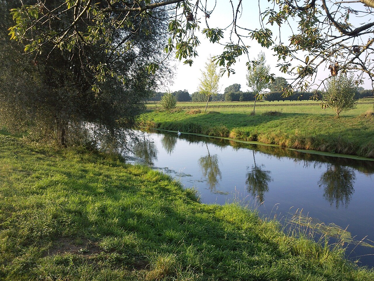

The Niers looks small beside the Rhine, but it is a river system in its own right with a long history of use. It crosses the western Lower Rhine region and reaches the Maas near Gennep. A first examination of the landscape needs only one suitably accessible section. The interest lies not just in the water but in how the river fits between paths, meadows, settlements and trees.
Use a bridge for orientation
A publicly accessible bridge can provide two viewing directions. Stand where traffic can pass unhindered and compare upstream with downstream. Does one side appear straighter, wider or more shaded? Are banks reinforced or vegetated? Small differences can produce concrete questions for further reading.
Flow direction cannot always be determined from a single ripple. Wind moves the surface while the water beneath may travel differently. If uncertain, consult a map or follow an object already floating in the water from a safe position. Do not throw anything into the river to create an experiment.
A river with a human history
The Niersverband describes how engineering works shaped the river's present appearance and how restoration changes individual sections. A curved channel is therefore not automatically unchanged for centuries, while a straight section does not by itself explain its present ecological condition. For a particular location, consult the association's project information.
Compare the position of a path with the channel, for example. If the path remains straight while the river bends away, the difference can be observed without cutting across a meadow. A sketch showing path, banks and groups of trees is more informative than a broad label such as natural or artificial. Keep what you can see separate from a historical explanation initially.
Near the river does not mean beside every bank
A walking or cycling route following the Niers may periodically move away from the water. That is part of a network which must accommodate property boundaries, protected areas and crossings. Do not assume a continuous waterside walk simply because a blue line appears on the screen.
For a short visit, select two permitted viewpoints joined by a confirmed connection. Turn back if the second cannot be reached, and avoid private jetties or working premises. At the end, consider the difference between the two views: light, bank shape and surroundings can change within a short distance. An apparently modest river then becomes an understandable part of the wider landscape. Keeping the location of each observation will also help you relate it to restoration information without accidentally attributing another section's history to the place you saw.