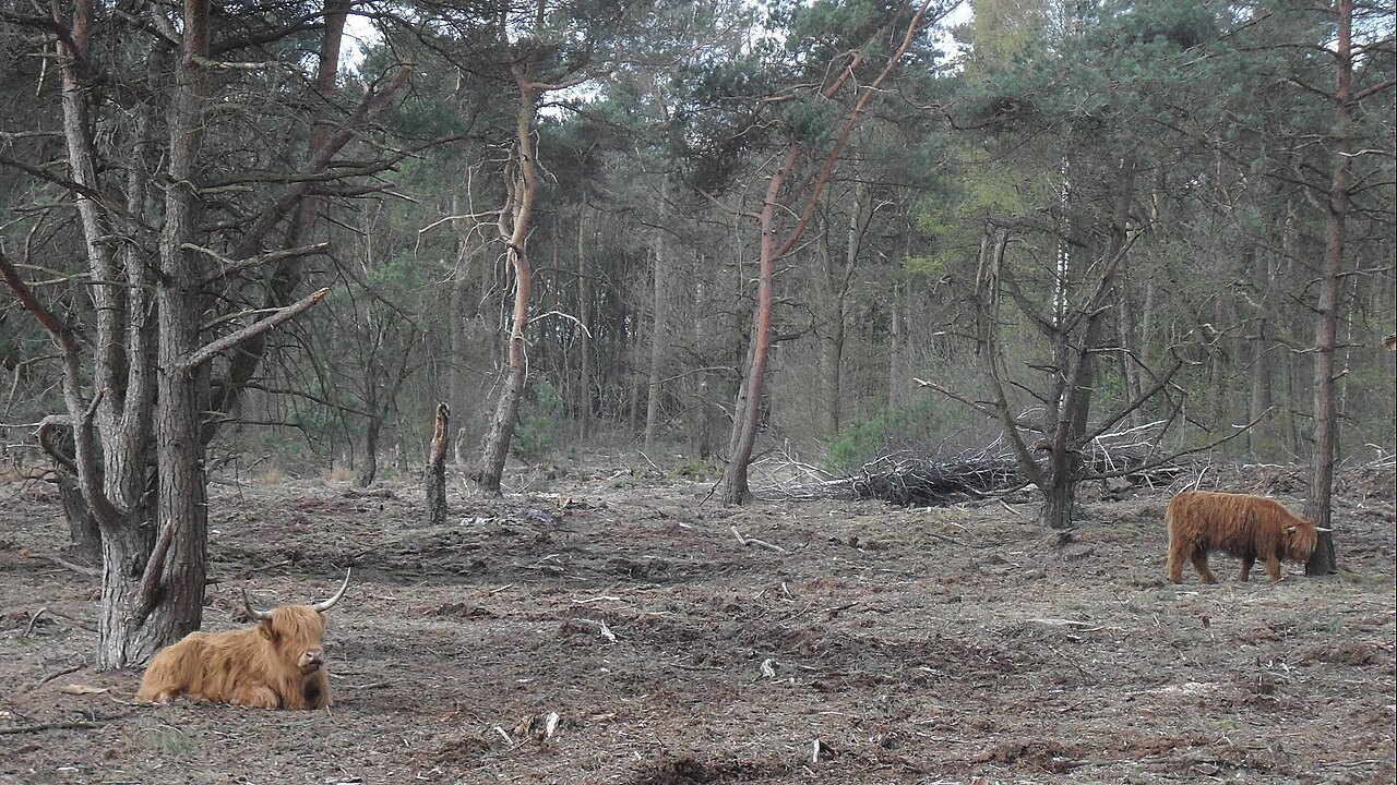
For a day trip from the German border region, De Maasduinen is best understood as a choice of different landscapes. Woodland, heath, dune forms and water belong to the national park, but they are not all immediately beside one car park. The most useful planning decision is therefore to choose one area first. Route, travel and possible extra stops come afterwards.
Begin with the experience you want
If water is the main interest, start with the official information for Reindersmeer. To combine woodland and heath, consider the Bergerbos options, for example. These are alternative starting points, not a recommendation to visit both comprehensively in one day. The national park publishes different route resources; compare their actual alignments with the group's wishes.
Write down two requirements before searching: perhaps a short circuit on a firm surface, or a longer walk including open heath. A third feature can be optional, such as a café. The route then remains suitable if that optional stop is closed. Beginning with a restaurant photograph can leave the suitability of the walk to be checked too late.
Record route colour together with its start
A colour alone does not identify a route throughout the national park. Save the name, starting point, distance and matching map together. On arrival, check that markings and current notices agree with the plan. Where several coloured routes meet, following a familiar colour from another leaflet is not sufficient.
Distinguish particularly between a full circuit and a possible shortcut. A shortcut involving a ferry or special crossing belongs in the plan only if present use has been confirmed. If the group needs it to make the distance manageable, prepare an independent shorter alternative. An optional convenience should not become a condition for returning safely.
Surfaces change the pace
Sand, roots and small climbs can lengthen walking time without looking dramatic on an overview map. Wheelchairs, walking aids and pushchairs require specifically suitable routes. A general visitor-friendly symbol says little about every individual path. Check the actual surface and use local information to resolve uncertainty.
For example, calculate a six-kilometre walk using your own comfortable pace rather than the fastest app estimate. Add orientation, pauses and a reserve. If the group takes substantially longer than expected over the first third, shorten the outing early. Do not wait until the farthest point to consider returning.
Conservation and recreation share the landscape
Water within the national park is not automatically available for swimming. Equally, a walking path is not a cycle route simply because it is physically wide enough for a bicycle. Follow local use rules and the displayed requirements for dogs. Differences between areas call for precise planning, rather than applying whichever nearby rule is least restrictive.
After the walk, allow a moment to locate the landscape on the map. Which dune form was actually recognisable? Where did water lie relative to higher ground? Where did vegetation change? These questions give a second visit a specific purpose. Another part of the park can then follow on a different day without overloading the first outing with transfers. Keeping one well-chosen area as the focus also leaves more time to notice the small transitions that a rapid sequence of stops would miss.