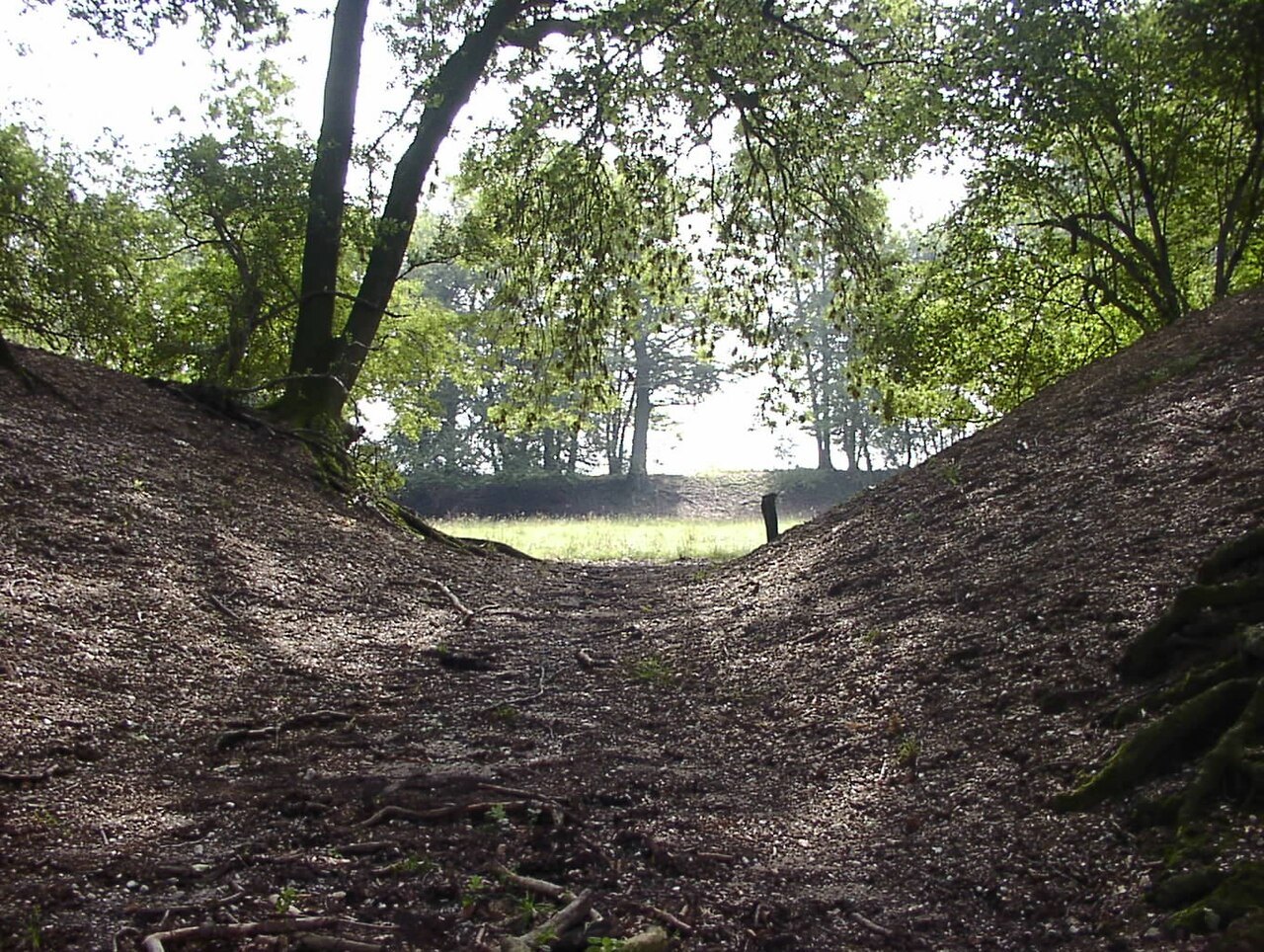

Fossa Eugeniana is an unfinished canal project between the Rhine and Maas. Searching for its traces today does not mean visiting one continuously preserved structure with a single entrance. Surviving sections sit within a landscape that has acquired many other uses. Begin by choosing a specifically documented location, rather than trying to follow an assumed historical line across the countryside.
The project behind the ditch
The regional heritage account explains that construction began in 1626 to link the Rhine at Rheinberg with the Maas at Venlo. Spanish-Netherlands policy aimed to divert trade, while fortified works would help protect the alignment. The scheme remained unfinished. This background explains why water engineering and military earthworks belong in the same discussion.
For a visit, understanding that basic idea is enough. A detailed chronology of every construction phase is less useful on site than knowing what actually survives at the selected place. A water-filled section, a dry cutting and an earthwork are different kinds of evidence. Avoid calling them all simply “the canal” if an interpretation panel makes a more precise distinction.
Three map questions before travelling
First, where is the documented feature? Second, which present-day public path provides a visible approach? Third, how will you return? Historical maps mainly answer the first question. The other two require current access information. An old alignment is not a modern right of way.
Save the name or reference of the selected feature. A general navigation marker for Fossa Eugeniana may be far from the section shown in an article or photograph. Choose one well-documented stop and a second optional one rather than several vaguely located destinations. Long distances can separate surviving sections without a continuous sequence of historical traces between them.
What the ground can show
From a permitted position, compare the shape of the cutting with its surroundings. Is it straighter than nearby watercourses? Does a bank run alongside? Does vegetation change along a line? These observations are starting points, not independent dating evidence. A modern drainage ditch can also follow a straight course.
Photograph the spatial relationship first and a detail afterwards. Record the direction of view. An isolated picture of water or earth is difficult to connect with a historical statement later. Do not climb banks to inspect a presumed cross-section, and do not dig or collect material.
Explain the limits of what is visible
If little can be seen, that is part of the character of an unfinished project surviving in fragments. An accurate description might say that a vegetated cutting is visible from the path and that official documentation establishes its identity. This communicates more than claiming to have the entire former complex in view.
For families, ask which information comes from the landscape alone and which arrives through text and maps. This distinction turns the outing into an investigation without encouraging a search for supposed treasure or leaving public paths. It also makes a partly obscured feature worthwhile: the exercise becomes learning how evidence works, rather than judging the visit only by the size of a visible monument.