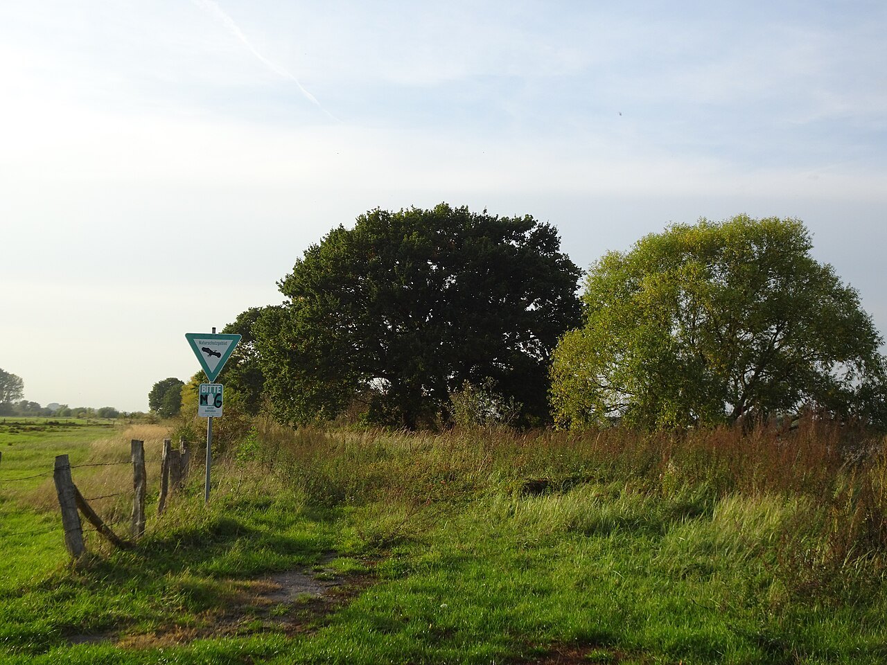

From a Rhine dyke, the landscape can appear to follow a simple sequence: water, meadow, path, then houses or fields. In reality, it contains a history of changing channels, protective structures and land use. Distinguishing these elements reveals more without specialist equipment. Observation is not a substitute for a flood map, however, and cannot predict which ground will flood at a particular gauge level.
Three spaces rather than one green surface
Germany's Federal Agency for Nature Conservation distinguishes the river, the still-floodable active floodplain and former floodplain disconnected from regular river flooding, for example by dykes. For a walk, this spatial idea is useful: not all flat ground near the Rhine retains the same relationship with water.
Locate the main channel and dyke alignment on a current map first. Then examine from a permitted path which side contains open land and where settlements begin. A hollow behind a dyke may have a historical connection with water without being directly inundated by the Rhine during every flood. More precise statements require local technical information.
Old channels record another alignment
A curved water body away from the main river may indicate an earlier course. The name Altrhein is a useful clue, but formation and present connections vary between places. Consult a local panel or specialist account before deriving a complete history from the shape alone.
A sketch can show the main river, dyke and separate waters individually. Draw only connections supported by the map or actually visible. A ditch disappearing into reeds need not end there; conversely, a similarly coloured strip does not prove an open water connection. This restraint makes the drawing more accurate rather than less interesting.
Why room for water matters
Floodplains can receive and temporarily store water. The federal agency explains their role in conservation and flood preparedness. That does not mean every dyke could simply be removed or that one project eliminates all risk. Local planning must consider land use, terrain and water conditions together.
At a newly created channel, begin by observing the shape: where does it start, how does it sit in the surrounding ground, and which bank sections are open? A brief visit cannot establish the overall success of the project. To investigate further, find its name and official objectives. Visible works can then be connected with their intended function in a traceable way.
Do not turn flooding into an outing
Warnings or closures rule out the affected route. Do not walk or drive into flooded ground, and do not bypass a barrier through adjoining land. A normally accessible dyke section may be required by emergency workers or for protective operations during an exceptional situation.
An ordinary day's observations are enough to understand many relationships. Compare an old channel with the present river alignment, for example, or land use on the two sides of a dyke. Repeated photographs from the same permitted position show change without requiring a visit during dangerous conditions. The landscape can be read while its protective function is respected. Keeping the date and viewing direction with each photograph also prevents seasonal differences from being mistaken for a permanent alteration.