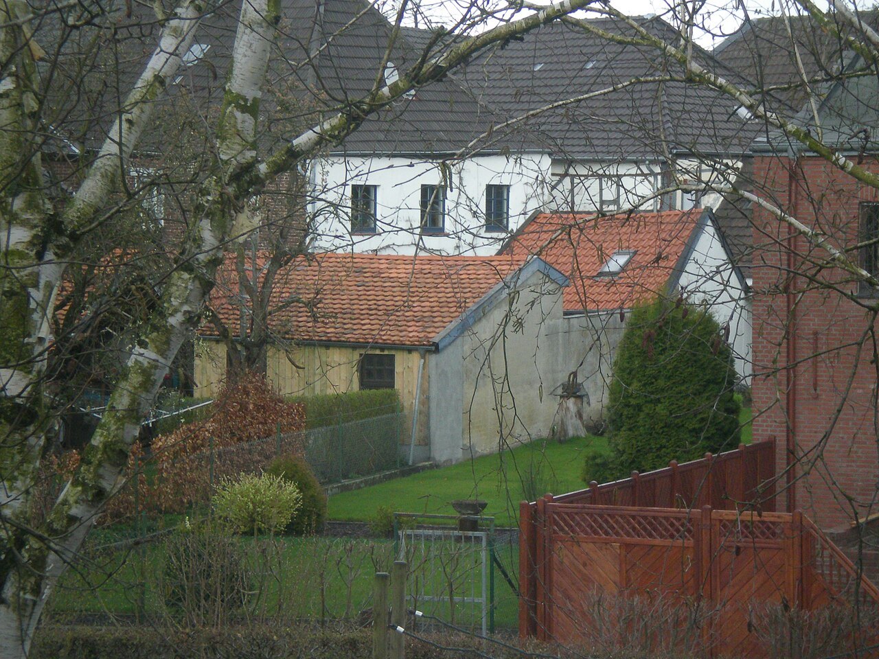
Wachtendonk is often approached through its historic houses. An attentive walk can also ask questions about water: where did it define the settlement, where was its power used, and how do people reach the bank today? This creates a connection between façades and landscape. Timber framing is only one possible building method here; brick and rendered houses also contribute to the streetscape.
Starting with Haus Püllen
Haus Püllen contains the tourist information office and nature park centre. When open, it provides a useful place to obtain a current map and local guidance. Check visiting hours if you need advice. An information centre should not automatically be treated as a continuously staffed service throughout the day.
The municipality's historic walk describes this and other buildings individually. Use the explanations to examine two or three details closely. A gable, doorway or altered window opening can reward more attention than ten façades passed quickly. Photograph from public areas and keep private entrances clear.
Water as power and boundary
The municipal walking brochure identifies a former watermill at the town wall, driven by the Niers. This shows that water was more than scenery. It could perform work, help define boundaries and also cause flooding.
Beside the present river, consider the relationship between water level, paths and buildings. Do not try to locate vanished structures precisely without an interpretive sign or reliable plan. A historical account explains an earlier relationship, while the visible scene reflects subsequent changes. Both levels can remain part of the same visit without being forced into a single picture.
What remains of the fortified settlement
The building known as the Pulverturm connects through its foundations with the former defences, but it subsequently had different uses. The municipality describes grain storage and prison rooms among them. Its name therefore does not tell the entire story. Comparing the name, building form and documented functions provides a useful conclusion to the historical part of the walk.
If continuing beside the water, choose a designated route and a clear point at which to turn back. The Niers and other destinations in the nature park can occupy a separate walking day. A village visit needs only a small section that opens the view from narrow streets into a broader landscape. Afterwards, return to a known place rather than improvising a route along uncertain riverside connections.