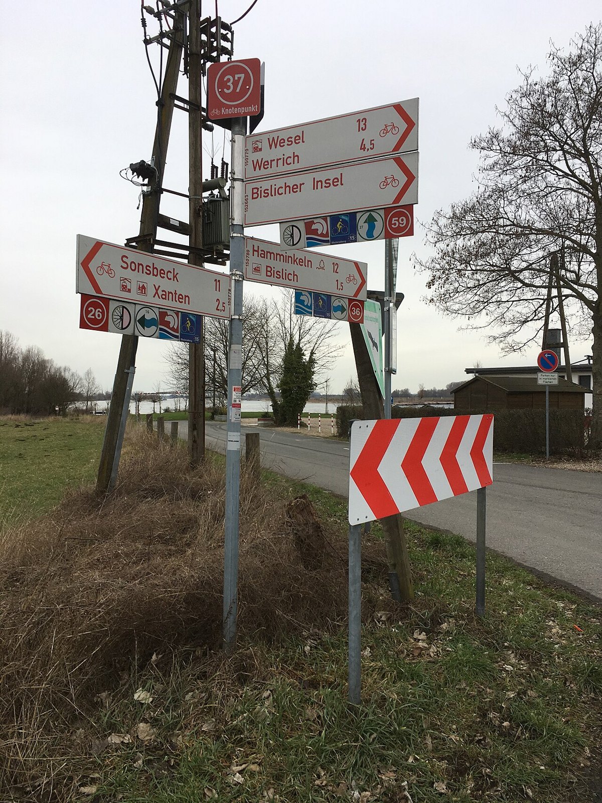

The cycling junction network lets you record an outing as a sequence of numbers. In the district of Kleve, numbered locations are linked through a regional route network, with maps and suggested rides published by the local development agency. The principle is straightforward: at each junction, follow the direction towards the next chosen number. The numbers identify places; they are not distances, difficulty ratings or sequential kilometre markers.
Turn the map into a sequence
Begin on a current map with a starting junction you can reach. Connect only points actually linked in the network. Write the full sequence and mark the start, so that a circuit does not accidentally end at a neighbouring node. The journey from a station or parking place to the first junction adds to the total.
For a purely invented example, consider A–B–C–A. If A to B is eight kilometres, B to C twelve and C to A nine, the circuit is 29 kilometres despite containing only three links. Three kilometres of access riding in each direction makes the day 35 kilometres. In a real plan, use the actual numbered junctions and distances shown on the current map.
Solve one section at a time
At a junction, read the location number first. Only after it agrees with the plan should you identify the direction to the next point. A number on a direction sign may name the destination rather than your present position. Recognising that distinction prevents unnecessary replanning caused by believing you are already at the wrong junction.
Record two place names alongside the number sequence as geographical anchors. If a sign is missing or a diversion appears, these help locate the situation on an overview map. Numbers can recur in different networks, so a number without its region is not a sufficiently precise meeting place for a separated group.
Correct a missed turn calmly
If the expected next sign does not appear, stop at a clear place outside the riding line. Check the last confirmed point and the direction of the path. Avoid continuing indefinitely in the hope of finding a suitable number. That can turn a small mistake into a substantial detour.
At a closure, the signed diversion takes priority over the planned sequence. Identify where you intend to rejoin the network and check the revised distance. A shorter straight line between two nodes is not automatically a suitable cycling connection.
Add your own limit to the network
Set a time by which the return must begin and a place where the circuit can be shortened. This depends on more than kilometres. Headwinds, pauses and slow surfaces change the effort required. An e-bike does not make a long loop unlimited when battery reserve is falling.
Photograph the overview board at the start if useful, but do not rely on that alone: small lettering may be unreadable later. A saved map and a short written sequence complement each other. Riding by numbers then remains clear while preserving enough geographical understanding to assess changes independently. The network supplies a framework; your remaining time, energy and route conditions determine how much of it to use.